Merkliste
Die Merkliste ist leer.
Der Warenkorb ist leer.
Kostenloser Versand möglich
Bitte warten - die Druckansicht der Seite wird vorbereitet.
Der Druckdialog öffnet sich, sobald die Seite vollständig geladen wurde.
Sollte die Druckvorschau unvollständig sein, bitte schliessen und "Erneut drucken" wählen.

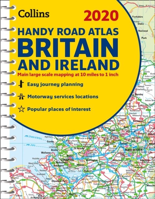
Britain and Ireland

handy Road Atlas
KarteKarte (Landkarten, Stadtpläne)
Verkaufsrang65371inReiseführer Europa
CHF10.90
Zugehörige Produkte
Ersatzprodukt zu

Produktinformationen

This easy-to-use, handy A5 sized road atlas with popular lie-flat spiral binding features extremely clear route planning maps of Britain and Ireland and fits neatly into your glove box, briefcase or bag. The atlas has been fully updated for 2020. The maps of Britain are at 9.9 miles to 1 inch (1:625,000) and the whole of Ireland is covered at 15.8 miles to 1 inch (1:1,000,000). There are also a selection of more detailed urban area maps at 4.5 miles to 1 inch (1:285,000) to aid route planning in these busy areas. * Road maps that focus on the main roads, motorways and settlements * More detailed maps of London, Manchester, Merseyside and West Midlands * Park & Ride locations (for bus and rail) * Handy distance calculator chart highlighting distances between the major towns
Weitere Beschreibungen

Details

ISBN/GTIN978-0-00-831871-0
ProduktartKarte
EinbandKarte (Landkarten, Stadtpläne)
Erscheinungsdatum13.06.2019
SpracheEnglisch
Gewicht137 g
WarengruppeReisen
Weitere Details

Kritiken und Kommentare

Schlagworte

Vorschläge

Zuletzt von mir angeschaut