Merkliste
Die Merkliste ist leer.
Der Warenkorb ist leer.
Kostenloser Versand möglich
Bitte warten - die Druckansicht der Seite wird vorbereitet.
Der Druckdialog öffnet sich, sobald die Seite vollständig geladen wurde.
Sollte die Druckvorschau unvollständig sein, bitte schliessen und "Erneut drucken" wählen.

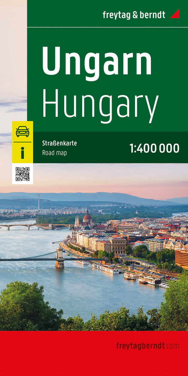
Ungarn, Straßenkarte 1:400.000, freytag & berndt. 1:400'000

KarteKarte (Landkarten, Stadtpläne)
Verkaufsrang287inKarten und Atlanten
CHF20.90

Produktinformationen

This detailed road map of Hungary is very suitable for planning and traveling around the country.The road network is well represented, both the main roads, provincial and local roads. Road numbers are also clearly stated. Distances between places are marked on the map in kilometers, and gas stations are also marked in important places.Shadow shows the relief and sometimes some points with the actual height. Province borders, national parks and reserves are easy to find. Symbols indicate the location of tourist sites, monuments, historically important places and viewpoints. In certain places you can find hotels and campsites, airports, train connections and ports.
Weitere Beschreibungen

Details

ISBN/GTIN978-3-7079-2165-6
ProduktartKarte
EinbandKarte (Landkarten, Stadtpläne)
Erscheinungsdatum29.01.2024
Reihen-Nr.AK 1004
SpracheDeutsch
MasseBreite 130 mm, Höhe 255 mm, Dicke 5 mm
Gewicht134 g
WarengruppeReisen
Weitere Details

Reihe

Kritiken und Kommentare

Schlagworte

Vorschläge

Zuletzt von mir angeschaut