Liste de favoris
La liste de favoris est vide.
Le panier est vide.
Envoi gratuit possible
Veuillez patienter - l'impression de la page est en cours de préparation.
La boîte de dialogue d'impression s'ouvre dès que la page a été entièrement chargée.
Si l'aperçu avant impression est incomplet, veuillez le fermer et sélectionner "Imprimer à nouveau".

Britain and Ireland

handy Road Atlas
CartesCarte (cartes géographiques, plans de la ville)
Classement des ventes 65356dansGuide Europe
CHF10.90
Produits associés
Remplace

Description

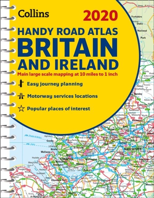
This easy-to-use, handy A5 sized road atlas with popular lie-flat spiral binding features extremely clear route planning maps of Britain and Ireland and fits neatly into your glove box, briefcase or bag. The atlas has been fully updated for 2020. The maps of Britain are at 9.9 miles to 1 inch (1:625,000) and the whole of Ireland is covered at 15.8 miles to 1 inch (1:1,000,000). There are also a selection of more detailed urban area maps at 4.5 miles to 1 inch (1:285,000) to aid route planning in these busy areas. * Road maps that focus on the main roads, motorways and settlements * More detailed maps of London, Manchester, Merseyside and West Midlands * Park & Ride locations (for bus and rail) * Handy distance calculator chart highlighting distances between the major towns

Détails

ISBN/GTIN978-0-00-831871-0
Type de produitCartes
ReliureCarte (cartes géographiques, plans de la ville)
Date de parution13.06.2019
LangueAnglais
Poids137 g
Groupe de produitsVoyages
CatégorieGuide Europe
Plus de détails

Evaluations

Mot-clé

Recommandations

Recherches récentes